Position
The twelve-one o’clock wedge: the 0-30 degree slice, beginning at the Under Helm Sycamore. Browse the map to explore the area.
Landscape
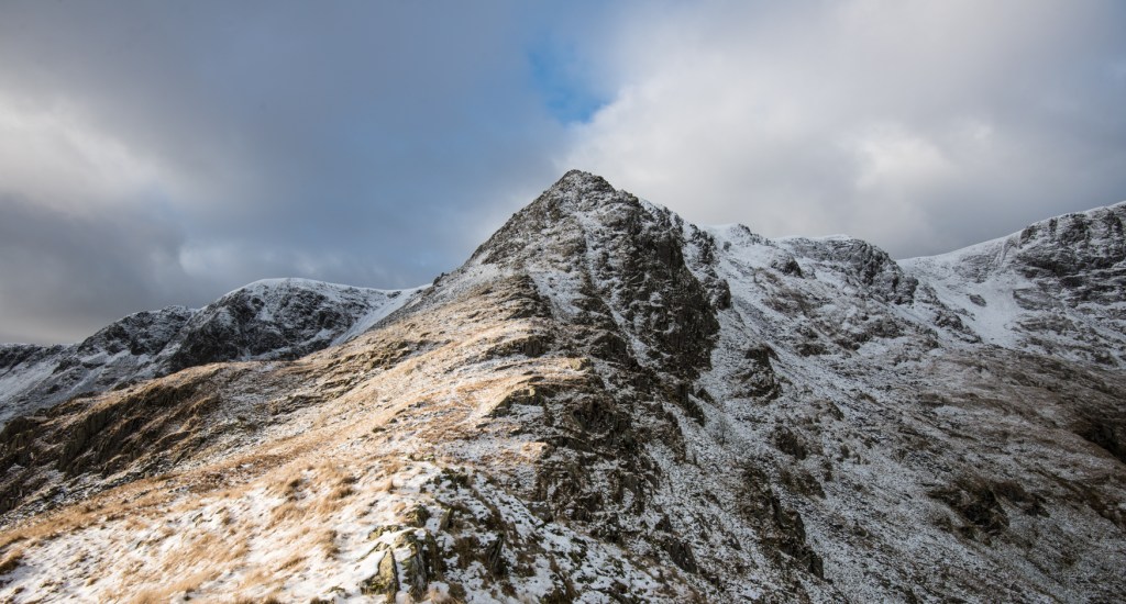
High, rounded fell tops taking in Helvellyn (England’s 2nd highest peak at 950m) and the valleys flowing into Glenridding and Patterdale. It includes the high backs of the Dodds, the lower ground at Threlkeld, the eastern flanks of Blencathra, and Mungrisedale and Mosedale. Beyond the National Park boundary this section extends to Carlisle.
Weather
Who can tell? We’re officially in winter so we’re hoping for some snow, and some fresh sunny days, but fully expect plenty of drizzle and low clouds.
The January Issue ~ Complexity
It’s far from simple: a small area of land, perhaps, but multiple demands and multiple truths. We’ll be beginning our year of enquiry with a consideration of the bigger picture and the many elements of this celebrated place, and ask what a National Park is and how it’s managed. Fittingly enough for January’s namesake, Janus, we’ll be looking back and looking forward, considering what we know, and airing the many questions we have. Our thoughts on this issue are in the Complexity Blog here.
Walking, Camping & the Canvas
For more detail on where we’ve been walking, the installation of the Canvas, check the January blog posts or type ‘January’ into the search box and select something to read from there.