
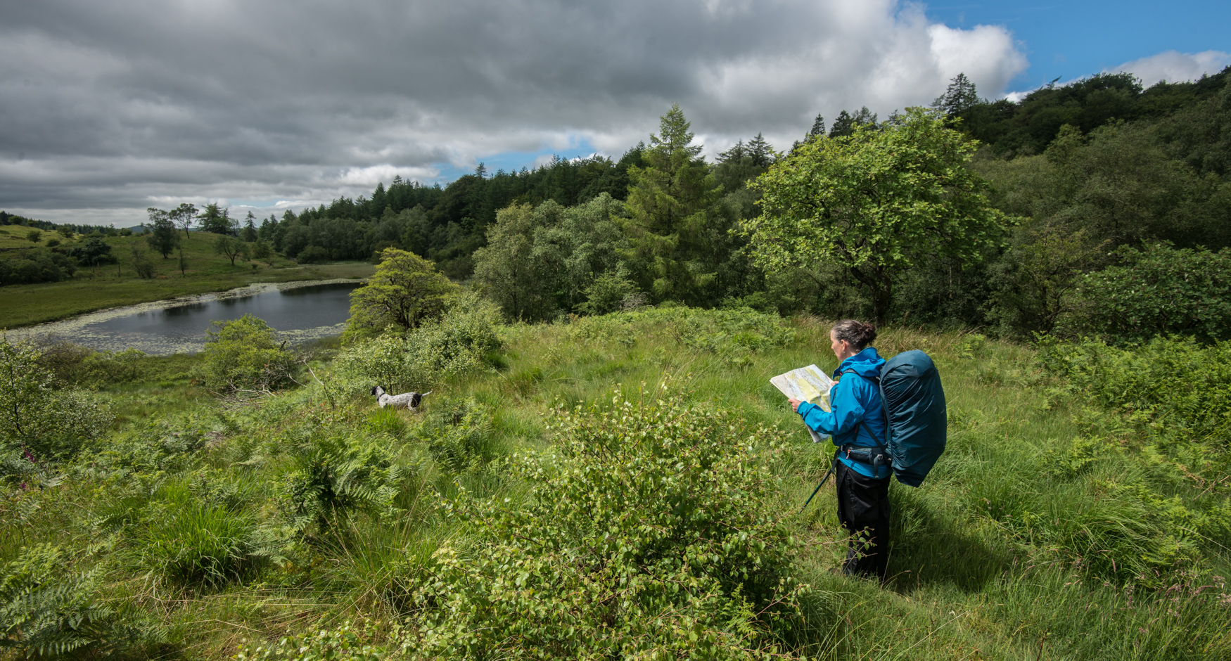
We’re great fans of paper maps and wouldn’t ever throw these out. Throughout 2019 we’ve been travelling with Ordnance Survey maps – they are, of course, essential for navigation but they reveal so much more about a place. We often spend long periods of time just looking at them, the shape of land they tell of, and the names of features in the land that reveal so much about its history. As well as this we’re using a digital map to gather stories about the place and the feelings of people who value it – and this is becoming a new map. Anyone can add to it.
Mapping the place you call home: your map
The Sense of Here mapping extends beyond the Lake District to gather views from elsewhere about how it feels to be home, a sense of community, and the importance of having access to green, open space. You can take a look at the map here to see what others are sharing about their home place, their connection to the Lake District (if indeed they have any), and their thoughts about opportunities and challenges going forwards. To add your own stories, go straight to the questionnaire or visit our Data of the Heart page to find out more.
In 2020 we will be collating the comments and stories that have been posted, and feeding them into the Sense of Here exhibition and book. We’ll also be sharing what we find with organisations that are charged with caring for the Lake District National Park, and national parks further afield: every voice matters.
